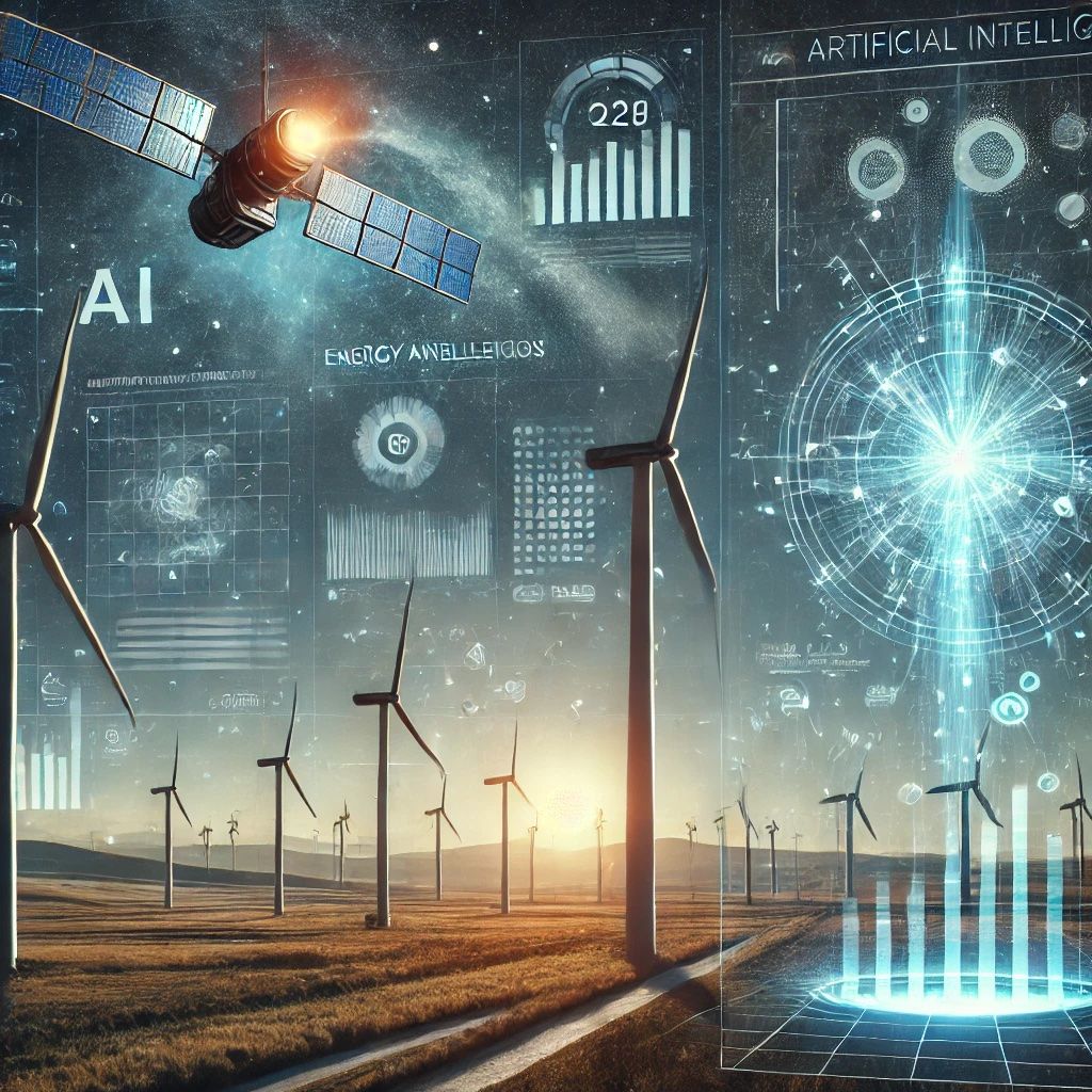
The Department of GIS and Remote Sensing at the University of Fort Hare is excited to announce poster presentations by their Masters and PhD students, with a special focus on young female researchers. These presentations will cover a diverse range of space applications in various domains, including Oceanography, Urbanization, Agriculture, Disaster Management (floods/landslides), Mining, and Pollution Monitoring.
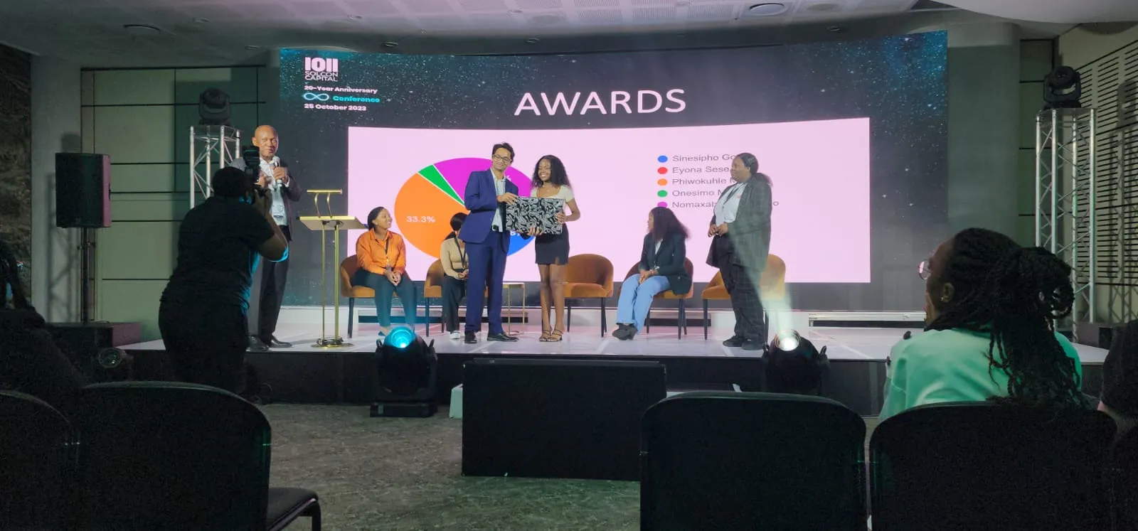
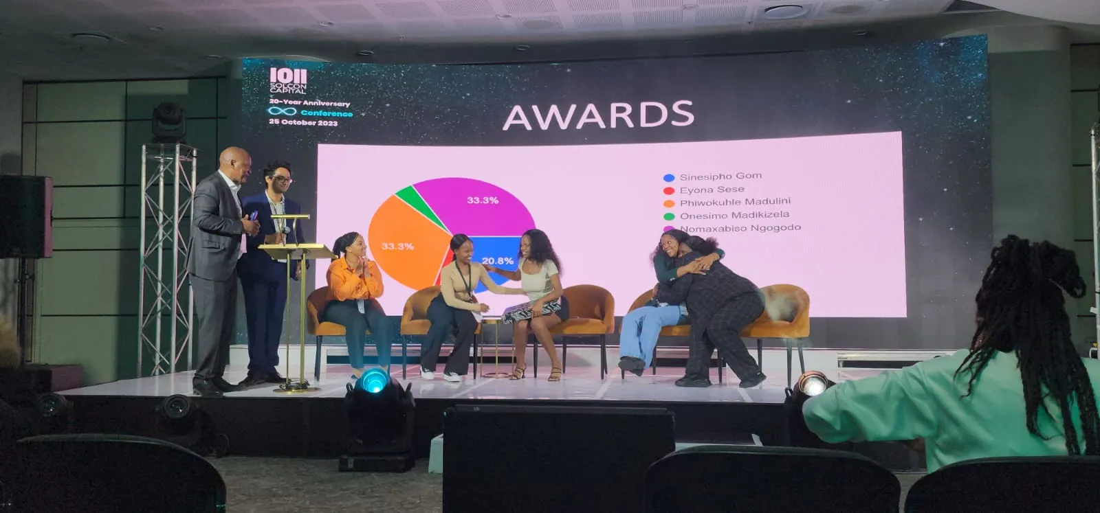
Additionally, the event will feature posters that highlight the innovative use of GIS and remote sensing for AI-driven wind energy research, showcasing the practical implementation of these technologies. Your participation is highly valued as our students share their groundbreaking research and insights. The best presentation will receive an exciting prize in recognition of their outstanding work
Poster Presenters
Mandisa Zameko
Poster topic: Predictive modeling and Assessment of offshore wind energy potential and extreme weather impacts
My name is Mandisa Zameko. I was born and raised in Bizana, Eastern Cape. I hold a Bachelor of Science in Environmental Studies degree with honors in Applied Remote Sensing and GIS. I am currently pursuing a master’s degree in Applied Remote Sensing and GIS at the University of Fort Hare. My academic journey showcases my dedication to understanding the intersection of environmental sciences, GIS and remote sensing. Therefore, with a strong foundation in environmental science, I seek to leverage geospatial technologies to address real world challenges.
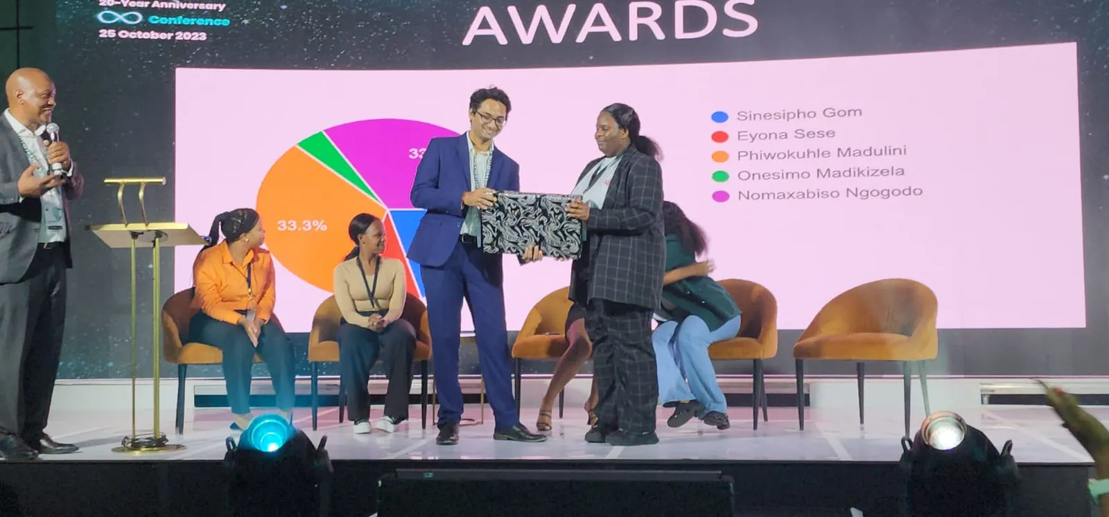
Sinesipho Gom
Poster topic: Historical analysis of climate change and wind trends
My name is Sinesipho Gom, born and bred in Port St. Johns. I am 26 years old and hold a BSc (Hons) in Applied GIS and Remote Sensing. Currently, I am pursuing an MSc in Applied Remote Sensing and GIS. My research focuses on the spatiotemporal monitoring of aquatic weeds using UAVs, satellite datasets, and machine learning in the Laing Dam of South Africa. I have a deep passion for remote sensing because I believe it can solve many real-world problems, and I am committed to using this technology to make a positive impact.
Nomaxabiso Ngogodo
Poster topic: A Near-Real-Time Data Acquisition Pipeline for Continuous Monitoring of Wind Energy: A Case Study of the Eastern Cape, South Africa
Nomaxabiso Ngogodo, a 24-year-old born and raised in Sterkspruit, has been on an academic journey characterized by academic excellence and an interest in Geographic Information Systems and Remote Sensing. Nomaxabiso holds a Bachelor of Science honours in Geographic Information Systems and Remote Sensing from the University of Fort Hare and is currently a masters of science candidate conducting research on As Nomaxabiso continues her studies, she embodies the spirit of curiosity and innovation. Her passion for data science and interpreting the spatial environment will enable her to make meaningful contributions to the field of science.
Onesimo Madikizela
Poster topic: A Predictive Model using Deep Learning Algorithms and Statistical Methods for Wind Energy
My name is Onesimo Madikizela. I was born in Vukandlule Village of the Eastern Cape, South Africa. I am a BSc in Environmental Studies graduate with honors in Applied Remote Sensing and GIS. I am currently pursuing a master’s degree in Applied Remote Sensing and GIS at the University of Fort Hare in research focusing on urban flood monitoring using remote sensing and machine learning techniques in the city of Johannesburg metropolitan municipality. I am young goal-oriented, ambitious and emerging researcher with an unraveled passion for scientific research within spatial modelling, climate change, and disaster management.
Nolizwi Diko
Poster topic: A Deep Learning Approach to Wind Turbine Location Optimization: Integrating Spatial and Temporal Patterns
My name is Nolizwi Diko, I hold an undergraduate degree in Geographic Information Systems (GIS) and Computer Science, as well as an honors degree in Applied Remote Sensing and GIS from the University of Fort Hare. Currently, I am pursuing a master’s degree in Applied Remote Sensing and GIS focusing conducting research on the usage of remote sensing approaches for monitoring the impacts of climate change and landuse cover dynamics in non-Ramsar wetlands within the Keiskamma Catchment. My academic journey has sharpened my analytical thinking and problem-solving abilities, enabling me to address complex spatial and environmental challenges. As an assistant tutor for final-year GIS and Remote Sensing students, I’ve developed leadership and interpersonal skills, while also contributing to fostering a collaborative academic environment. Driven by a passion for environmental conservation, I aim to apply advanced geospatial techniques and data science to inform sustainable development and climate adaptation policies, especially in vulnerable ecosystems.